File:North Pacific Gyre World Map.png
From WikiEducator
Size of this preview: 800 × 523 pixels. Other resolution: 1,200 × 784 pixels.
Original file (1,200 × 784 pixels, file size: 1.37 MB, MIME type: image/png)
Summary
| Description |
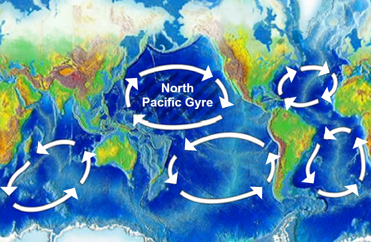
English: Original version is en:Image:Oceanic gyres.png. The north pacific gyre is highlighted. |
| Date | uploaded August 2008 to en:Wikipedia (log) |
| Source | Fangz created this work entirely by himself in Photoshop, using materials in the public domain. |
| Author | Fangz (talk) |
| Other versions | Derivative works of this file: North Pacific Gyre World Map es.png |
Licensing
| This work has been released into the public domain by its author, Fangz at English Wikipedia. This applies worldwide. In some countries this may not be legally possible; if so: Fangz grants anyone the right to use this work for any purpose, without any conditions, unless such conditions are required by law. |
File history
Click on a date/time to view the file as it appeared at that time.
| Date/Time | Thumbnail | Dimensions | User | Comment | |
|---|---|---|---|---|---|
| current | 23:33, 19 September 2020 | | 1,200 × 784 (1.37 MB) | Belbury | Higher resolution version of same map (File:Oceanic gyres.png) with more legible font |
File usage
The following page links to this file: